ABOUT
⟴The Netherlands, 2020
Cutting-edge levels of detail from imagery and LiDAR
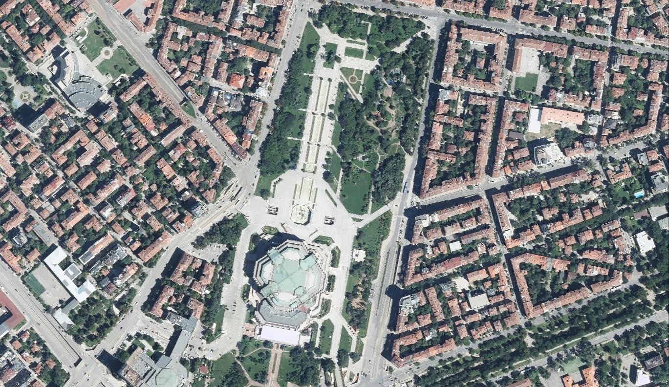 ⟴Sofia (Bulgaria), 2020
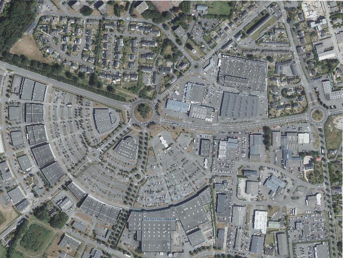 ⟴Rennes (France), 2020
Six decades of innovation and counting
Innovation is engrained in the DNA of Eurosense. We are pursuing innovative geo-products since 1964: from being the first European company executing a digital multispectral scanning, over the first company processing digital satellite images to one of the few companies owning an ultra-high-resolution laser scanner with a pulse frequency of 4 GHz. Eurosense has developed ample end-to-end solutions ensuring our clients products with an above 95% accuracy level.
Eurosense feels very strongly about quality. The entire group works, since more than 20 years, according to ISO 9001:2015 procedures and applies a quality system which is continuously improved and adapted to the latest quality needs.
Hub of cultural and entrepreneurial diversity
 ⟴Rheine (Germany), 2019
CONTACT US IF YOU HAVE ANY QUESTIONS
We are happy to help you!