YOUR PARTNER IN
GEO INFORMATION SERVICES
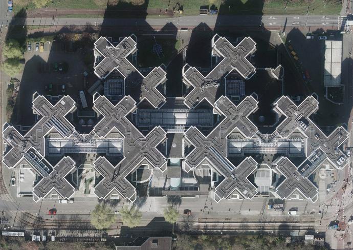
⟴Hungary, 2018
Eurosense is one of the leading aerial surveying, remote sensing and
geo-data companies in Europe, with headquarters in Belgium. The group
was created in 1964 and has offices in Belgium, Hungary and Bulgaria.
Specialties of Eurosense include: high resolution photogrammetric
imagery (up to 2 cm GSD), true orthophotos, aerial LiDAR, 3D-modeling,
aerial thermography, change detection, trees inventory and health
analysis, GIS-consultancy, and other geo-related queries. Customers are
both public (government) and private (such as architecture,
construction, engineering, telecommunication, utility and solar
industries).
About us
Eurosense offers high quality geographical information, derived from two remote sensing sources, being spaceborne and airborne. All data is processed and interpreted by Eurosense in order to meet high standards for quality, precision and reliability. Eurosense is constantly developing knowledge to respond quickly to new technologies on the market.
 ⟴The Hague (The Netherlands), 2020
Key Facts
3
COUNTRIES WITH
COUNTRIES WITH
LOCAL OFFICES
61
YEARS OF EXPERIENCE
>3.000.000
KM2 COVERED
Our Partners


CONTACT US IF YOU HAVE ANY QUESTIONS
We are happy to help you!